ESS and Public Health Collaborate on Mapping Health

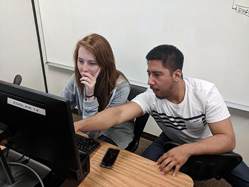
Famously, the British doctor John Snow mapped cholera cases during the 1854 outbreak in London, and was able to – for the first time – control a cholera outbreak by simply removing the handle of a contaminated city water pump. Similarly, many modern environmental and public health issues -- from the water crisis in Flint, Michigan to potential cancer clusters near hazardous waste sites – present an opportunity for novel spatial analysis approaches in the medical and health fields. A collaborative between faculty from Environmental Studies and Sciences and Public Health Science is using Geographic Information Systems (GIS) in combination with a diversity of qualitative, quantitative, and experimental methods to study the interconnections between the environment and public health outcomes. The faculty involved are Iris Stewart-Frey, C.J. Gabbe, Chris Bacon, and Leslie Gray from ESS, and Sonja Mckenzie and Jamie Chang from Public Health. Funding from the DeNardo Foundation and the College of Arts and Sciences provides fellowships for seven students in the College:
- Genevieve Clow (’18, Environmental Science and Chemistry)
- Martin Perez (’18, Environmental Studies)
- James Wang (‘19, Electrical Engineering and Environmental Science)
- Efren Oxlaj Tambito (’19, Environmental Science)
- Maddy McNamara (‘18)
- Marlene Cerritos-Rivas (’18, Public Health)
- Tracy Ronquillo (’18, Public Health)
The student and faculty collaboratives work on projects that are all centered in the Bay Area and include police violence in minority communities, opioid deaths in homeless, the uneven access to green and open space, and the exposure of vulnerable populations in schools and new housing development to roadway air pollution emissions. Faculty and students meet regularly in their working groups and 1-2 times per quarter for a discussion with the entire group. Two mapping health students presented a poster at the recent Sigma Xi session on campus, several more will be presenting their work at conferences in Sacramento and San Diego. Each faculty-student team is preparing peer-reviewed publications on their work.